National geospatial data fund |
For the purposes of centralized accounting, keeping and use of topographical, geodetic and mapping documents there has been created State Cartographical and Geodetic Fund storing the respective materials for the whole territory of the Republic of Moldova. These materials are of technical, scientific, economic, historical, social and cultural interest.
Topographical, geodetic and mapping materials and data are distributed for use to public authorities and private sector on demand, observing the Fund Regulations.
Visit our facebook page.
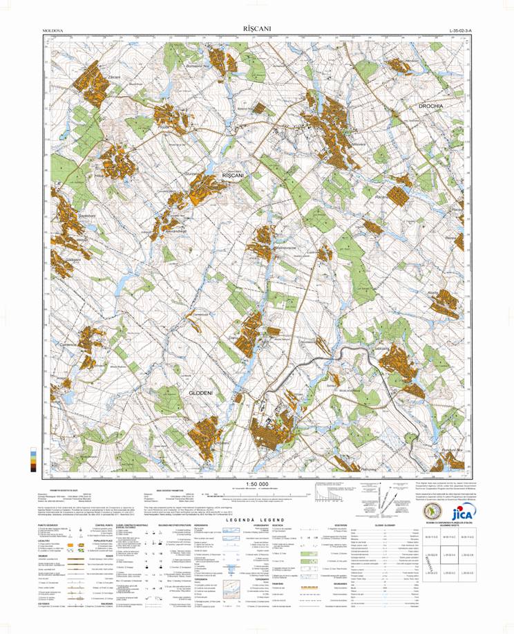
The new map of the scale 1:50 000 was published on http://geoportal.md . The map is published in format tiff for viewing. For publication of the digital base map in vector format we need further processing.
The map of the scale 1:50 000 is the first digital topographic map, covering the whole country and can be used for the development of many economical areas such as disasters , emergency responses, operational decisions in different areas, land management, transport, environment, health, tourism, rescue operations and for forecasting weather conditions.
The grant for development was provided in the form of support from the Government of Japan through the Japan International Cooperation Agency (JICA) in cooperation with Agency for Land Relation and Cadastre (ALRC).
We will be grateful for opinions and suggestions, exhibited by email tamara.rudenco@arfc.gov.md.
We hope for a successful cooperation.