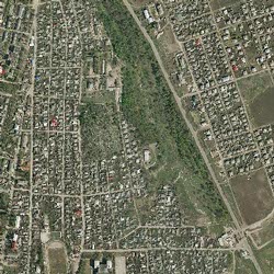
Orthophoto
HomeOrthophoto_2007
The works were executed in 2007 in cooperation with the Norwegian Cadastre
Authority "Statens Kartverk" within the Moldavian and Norwegian project
“Moldova Orthophoto", a grant under the form of a technical support,
given by the Ministry of Foreign Affairs of Norway through the Norwegian Government
- ortophoto_40 for the whole territory of the Republic of Moldova.
- ortophoto_20 for 38 localities
Orthophoto_2011
Orthophoto_2011 is the part of Project “Line maps for development” and was funded by Norwegian Government.
Line maps, orthophoto 40 resolution and laser scanning data covers 20% of the territory of the Republic of Moldova.
The flight area covers a total of approx. 6242 km? (central part of the territory of Moldova.)
Quality control is performed by S.E.INGEOCAD and Norwegian Cadastre Authority "Statens Kartverk"